Do Disasters Come Only from the Sky? How “Extreme Weather” Obscures Changes in the Land
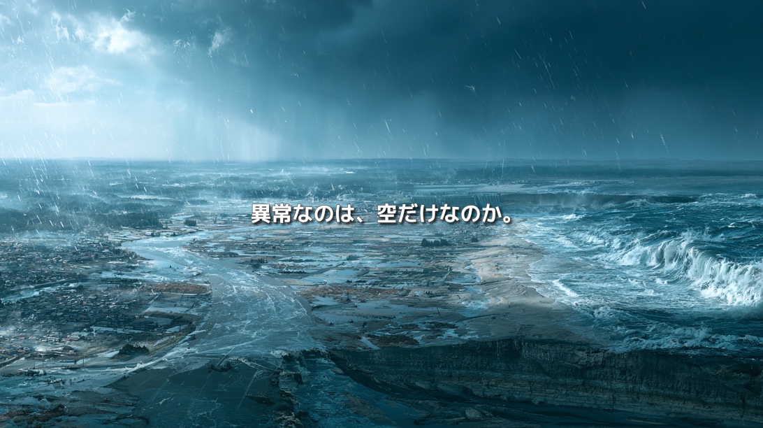
Heavy rain falls. Rivers overflow. Roads are submerged, slopes collapse, and high waves strike the coast.
In the news, these events are often described with one phrase: “extreme weather.”
When we hear those words, it can feel as though the Earth’s climate has suddenly become abnormal and disasters that never existed before are beginning to appear.
Climate change is indeed increasing the frequency and intensity of extreme events, including heatwaves and heavy rainfall. But floods, droughts, and storm surges are not phenomena that emerged only in the modern era.
Why, then, does disaster damage appear to be growing so severe?
Is it only because the rain falling from the sky has changed?
There may be another transformation we have overlooked:
the changing condition of the land that receives that rain.
“Extreme Weather” Does Not Mean That Nature Has Become Unnatural
The Japan Meteorological Agency generally defines “abnormal weather” as a phenomenon that occurs no more than once every 30 years in a particular place, region, or season.
In other words, “abnormal” does not mean that the phenomenon does not belong in nature.
It means that it is statistically rare compared with historical observations.
Typhoons, torrential rain, and heatwaves have occurred repeatedly throughout Earth’s long history. Yet the increasingly frequent use of the phrase “extreme weather” is not based on perception alone.
According to Climate Change in Japan 2025, the annual number of rainfall events exceeding 50 millimetres per hour in Japan has risen by approximately 1.5 times over the most recent decade compared with the beginning of the observation period.
The frequency of days with more than 300 millimetres of rainfall has increased by approximately 1.9 times.
The climatic forces acting upon society are genuinely changing.
But an important distinction must be made:
heavy rain and a major disaster are not the same thing.
Weather Events and Disasters Are Different
If a river floods in an uninhabited area, the social damage may be limited.
If the same amount of rain causes flooding in a low-lying district filled with homes, factories, and roads, it can become a major disaster.
Disaster risk is not determined by the intensity of weather alone.
Broadly speaking, it emerges when three factors overlap:
- A hazard, such as heavy rain, strong winds, extreme heat, or storm surge
- Exposure, including people, homes, industries, infrastructure, and transport networks
- Vulnerability—the susceptibility of land, ecosystems, and society to damage
The IPCC similarly understands climate-related disaster risk as the result of interactions among climate hazards, the exposure of people and assets, and the vulnerability of societies and ecosystems.
Extreme weather is one factor that can trigger a disaster.
But extreme weather alone does not create the disaster.
We Have Built Land That Drains Water Away Faster
Human beings have transformed land to make life safer, more productive, and more convenient.
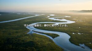
Wetlands have been filled. Farmland has been converted into residential districts. Roads and parking areas have been paved.
Meandering rivers have been straightened. Water has been confined within levees, collected through drainage channels, and moved downstream as quickly as possible.
These changes reduced the risk of infectious disease, improved transportation and logistics, and protected many communities from flooding.
Modern urban life depends on this infrastructure.
But moving water efficiently also means reducing the amount of time it remains on the land.
When farmland and wetlands that once temporarily stored rainwater disappear, and when soil is covered with asphalt and concrete, water can no longer infiltrate the ground as easily.
Large volumes of runoff then enter drains and rivers within a short period, increasing pressure on downstream areas.
The value of natural land did not lie simply in its “strength.”
It had room to receive water, spread it across a wider area, allow it to infiltrate, and release it gradually over time.
What Was Lost as We Made Rivers Stronger?
Levees, dams, and reinforced riverbanks have protected countless lives and communities. Their importance cannot be dismissed.
At the same time, the more tightly a river is confined, the more confidently we begin to use the land outside it as though it were permanently safe.
Homes, commercial facilities, and other assets are built on low-lying land where rivers once overflowed. Population and economic value gradually accumulate behind the levees.
A levee improves everyday safety.
But if development proceeds on the assumption that the protection will never fail, the potential losses become much greater when an event exceeds the system’s design limits.
This does not mean that the infrastructure was ineffective.
It means that infrastructure did not eliminate the risk.
It changed where and how that risk would appear.
Mountains, Rivers, and Coasts Are Connected by Sediment
Changes in the land are reflected not only in the movement of water but also in the movement of sediment.
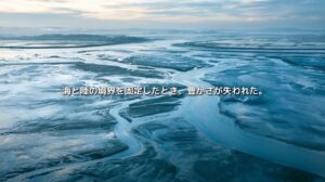
Sediment produced in the mountains travels downstream through rivers and eventually helps form beaches along the coast.
Dams, weirs, gravel extraction, ports, and coastal structures can interrupt that journey.
Japan’s Ministry of Land, Infrastructure, Transport and Tourism has identified reduced sediment supply from upstream dams and the obstruction of longshore sediment transport by coastal structures as factors that can accelerate coastal erosion.
Beaches do not exist only for scenery or tourism.
They are also natural disaster-protection infrastructure.
By absorbing wave energy, they reduce the force that reaches inland areas.
Even when waves are similar in scale, their effects will differ between a coast protected by a broad beach and one where erosion has narrowed or removed the sand.
If we explain the damage only by saying that “abnormal waves arrived,” we overlook the transformation that had already been taking place along the coast.
Has the Damage Increased—or Have More Places Become Exposed?
Today, far more people and assets are concentrated in cities and coastal areas than in the past.
Roads, railways, electricity networks, telecommunications, and logistics facilities are intricately connected. Flooding or a landslide in one place can disrupt daily life across a much wider region.
Smartphones, security cameras, and social media have also transformed the visibility of disasters.
Events that once remained primarily within local memory can now become shared visual experiences across an entire country within minutes.
The apparent scale of modern disasters therefore reflects several overlapping changes:
the changing climate, the growing concentration of exposed assets, and an information environment that makes damage immediately visible.
However, the fact that disasters also occurred in the past must not be used to deny present-day climate change.
Heavy rainfall occurred before.
Today, some forms of heavy rainfall are becoming more frequent and more intense.
At the same time, human alterations to the land continue to influence the scale of the resulting damage.
These are not competing explanations.
Both can be true.
We Cannot End Every Disaster with the Words “Beyond Expectations”
After each disaster, familiar phrases appear:
“the highest level ever recorded,”
“rainfall unlike anything previously experienced,”
or simply, “beyond expectations.”
Future weather cannot be predicted perfectly.
Nor can we continue building ever-larger structures capable of containing every possible rainfall event.
This is why future disaster policy must do more than attempt to suppress natural forces.
We need to redesign how land is used on the assumption that flooding and other forms of damage will sometimes occur.
That means:
- Preserving farmland and wetlands that can temporarily store water
- Increasing permeable surfaces that allow rainfall to infiltrate urban ground
- Securing space where rivers can temporarily spread during floods
- Reconsidering the concentration of valuable assets in high-risk lowlands
- Managing sediment movement continuously from mountains to rivers and coasts
- Reading historical maps and local memories to understand how a place was formed
Japan’s concept of basin-wide flood management follows this approach.
Rather than attempting to manage all floodwater solely within the river channel, it seeks to reduce water-related disaster risk throughout the entire watershed—from the catchment area to the floodplain.
In an era of climate change, updating the design standards of infrastructure will not be enough.
We must also reconsider the relationship between land and water itself.
Is the Sky the Only Thing That Has Become Abnormal?
Extreme weather is real.
Observational data clearly show that intense rainfall events are becoming more frequent in Japan.
But when every disaster is explained only through the language of extreme weather, our attention remains fixed on the sky.
What we must also examine is the landscape after the rain reaches the ground.
Can the land absorb and retain water?
Does the river still have space to expand?
Can sediment continue to move from the mountains to the sea?
What have we built on land where water once naturally gathered?
Part of every disaster comes from the sky.
Another part is produced by what we have constructed on the ground.
Perhaps only when we stop saying, “Nothing could be done because the weather was abnormal,” can we begin to confront the causes that remain within our power to change.
References
- Japan Meteorological Agency: Climate and Abnormal Weather
- Japan Meteorological Agency and Ministry of Education, Culture, Sports, Science and Technology: Climate Change in Japan 2025
- Climate Change in Japan 2025, Chapter 5: Precipitation
- IPCC Sixth Assessment Report, Working Group II: Summary for Policymakers
- Ministry of Land, Infrastructure, Transport and Tourism: Toward Integrated Sediment Management Across River Systems